

How to Set Up Geofence Alerts for Fleets
- 2 days ago
- 6 min read
A truck leaving a customer site after hours, a rented asset moving beyond an approved work zone, or a service vehicle arriving late at a depot can all require immediate attention. When you set up geofence alerts correctly, these events become actionable operational signals rather than details discovered later in a trip history report.
For fleet operators and telematics service providers, geofencing is not simply a map feature. It is a rules-based control layer that connects vehicle position, time, driver behavior, and business process. The value comes from designing the right zones, selecting the right alert logic, and ensuring the installed tracking device reports location reliably in the environments where the fleet operates.
Why Geofence Alerts Matter in Fleet Operations
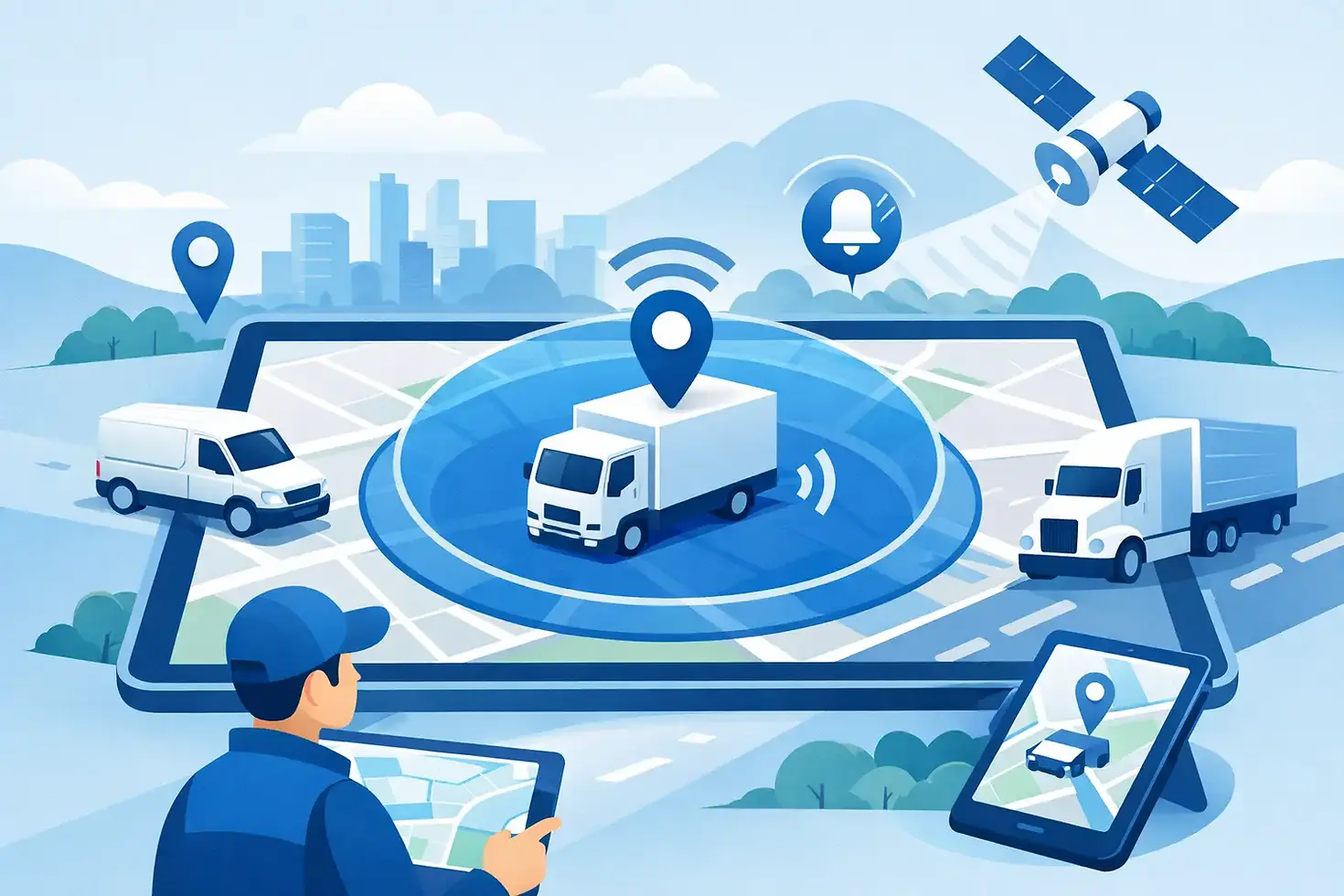
A geofence is a virtual boundary drawn around a physical location. It can be a radius around a point, such as a warehouse or customer address, or a custom polygon that matches the shape of a construction site, port terminal, restricted district, or delivery area. When a vehicle or asset enters, exits, or remains within that boundary under defined conditions, the telematics platform generates an event.
The most useful applications are directly tied to operating decisions. Entry alerts can confirm arrival at scheduled locations and support proof-of-service workflows. Exit alerts can flag unauthorized vehicle use, missed loading procedures, or possible theft. Dwell-time alerts can identify vehicles waiting too long at a customer site, idling at a distribution center, or remaining at an unauthorized location.
Geofencing also gives operations teams a practical way to manage exceptions at scale. Instead of watching every vehicle on a live map, dispatchers can focus on movements that break an established rule. For fleets with hundreds or thousands of units, that distinction has a measurable effect on response time and staffing requirements.
Start With an Alert Policy Before Drawing Zones
The fastest way to create poor geofence alerts is to begin by drawing circles on a map without defining what each alert is expected to achieve. Every zone should have an owner, a business purpose, an escalation path, and a clear definition of what counts as an exception.
For example, an operations manager may want an alert when a delivery vehicle arrives at a customer location. A security team may need a higher-priority alert when a vehicle leaves a depot outside approved hours. Those events can use the same location boundary, but they should not use the same notification rule. One may be recorded in a workflow or sent to dispatch. The other may require an immediate push notification, call tree, or integration with a security monitoring process.
Before configuration, document the following for each location type:
The event to detect: entry, exit, dwell time, no-show, or movement during restricted hours.
The vehicles, assets, or driver groups covered by the rule.
The responsible team and the required response time.
The hours when the rule applies and any approved exceptions.
The alert channel, such as platform notification, email, SMS, API event, or partner application.
This policy-first approach prevents alert fatigue. If a dispatcher receives dozens of low-value alerts per shift, the alert system will eventually be ignored, including the events that matter most.
How to Set Up Geofence Alerts Step by Step
1. Classify locations by operational purpose
Begin with locations that have a repeatable operational role: depots, maintenance yards, customer facilities, distribution centers, ports, job sites, fuel stations, restricted areas, and approved parking locations. Grouping locations by purpose makes it easier to apply consistent rules later.
A depot, for instance, may need entry and exit alerts, after-hours monitoring, and a rule for vehicles that remain outside overnight. A customer site may only need arrival, departure, and dwell-time reporting. A theft-risk area may require a smaller boundary and an immediate high-priority notification whenever a protected vehicle enters or leaves.
2. Choose the right boundary shape and size
Circular geofences are quick to deploy and work well for small, clearly separated locations. They are often suitable for a fuel station, parking lot, or customer address. The radius should account for the site footprint, GPS accuracy, road access, and nearby facilities.
A radius that is too small may create false entry and exit events when a vehicle is parked near the edge of the location. A radius that is too large can trigger an arrival event while the vehicle is still on an adjacent road or at a neighboring business. There is no universal radius. A dense urban delivery route may need a tighter boundary than a rural yard with a long access road.
Use polygon geofences for complex or sensitive sites. A polygon can follow the actual perimeter of a port, mine, construction area, or logistics campus. This improves precision, although it requires more careful setup and ongoing maintenance if the work area changes.
3. Match alert rules to real operating conditions
Configure rules that reflect how the fleet actually works. An exit event from a depot might be expected from 5:00 a.m. to 8:00 p.m. on weekdays, but unusual on weekends or overnight. A vehicle entering a customer zone may be normal during a scheduled delivery window but worth reviewing if it occurs after hours.
Time-based conditions reduce unnecessary notifications. So do vehicle-group conditions. A maintenance vehicle may be authorized to enter a restricted yard, while a delivery vehicle is not. Assigning policies by asset class, department, route group, or driver group supports more precise control than applying one rule to the entire fleet.
For higher-risk use cases, combine location events with additional telemetry. A depot exit alert becomes more meaningful when paired with ignition status, driver identification, door activity, or a geofence exit occurring outside an assigned shift. Asset monitoring deployments can use movement detection and location reporting intervals to distinguish a legitimate relocation from suspicious movement.
4. Configure notification priorities and recipients
Not every event belongs in the same inbox. Arrival confirmations may be visible in a dispatcher dashboard or delivered to a workflow system. Unauthorized movement, tow detection, or after-hours depot exit should be routed to a smaller group able to act immediately.
Set priorities according to impact. Informational alerts support reporting and service verification. Operational alerts require action during the workday. Security alerts should reach designated responders without delay. The platform should also preserve the event record with time, coordinates, vehicle identity, and relevant device data so teams can verify what happened before escalating.
5. Apply sensible reporting intervals
A geofence alert is only as timely as the device location data supporting it. For moving vehicles, reporting intervals should balance the need for responsiveness with data consumption, power requirements, and the available network environment. A fleet that needs rapid theft-response visibility may require more frequent updates than a low-utilization trailer fleet.
Modern 4G telematics hardware, reliable GNSS performance, and installation quality all affect event confidence. Devices should maintain stable reporting through typical fleet conditions, including urban canyons, covered loading areas, vibration, temperature exposure, and variable cellular coverage. For battery-powered assets, power-saving settings must be evaluated carefully because aggressive sleep modes can delay movement and geofence events.
ERM Telematics deployments can be tailored around vehicle type, installation method, CANBUS requirements, and partner platform integration, helping service providers align device behavior with the geofence workflows they offer customers.
Test Every Zone in the Field
Map-based configuration is only the first stage. Test a new geofence with a real vehicle entering and exiting from each normal approach road. Confirm the event time, location, notification recipient, and alert priority. If the site has multiple gates, test them all.
Pay close attention to edge conditions. A vehicle waiting in a queue outside a gate may trigger a premature arrival if the boundary extends too far. A unit parked near a perimeter may generate repeated events if GPS drift places it on both sides of the boundary. Adjust the radius or polygon, add a dwell-time threshold, or use event filtering where the platform supports it.
Testing should also include poor-signal scenarios and the device's behavior when buffered records are uploaded after connectivity returns. A late alert may still be useful for reporting, but it is not appropriate for an immediate theft-response workflow. Define these service expectations with customers and internal teams before relying on geofencing for critical security operations.
Maintain Geofences as Operations Change
Geofence programs require governance. Customer sites relocate, depot entrances change, temporary job sites close, and new routes are added. Assign responsibility for reviewing zones regularly, especially high-value locations and temporary polygons created for projects.
A monthly exception review is often enough to identify zones that produce excessive alerts, fail to detect expected arrivals, or no longer serve an operational purpose. Look for patterns rather than isolated events. Repeated false alerts may indicate a boundary design issue, while frequent after-hours exits may reveal a scheduling, access-control, or vehicle-use problem.
The strongest geofence strategy does not create more notifications. It gives the right team dependable evidence at the moment a vehicle or asset crosses a boundary that matters, allowing them to protect equipment, improve service performance, and act before a small exception becomes a costly incident.


